Click here to purchase
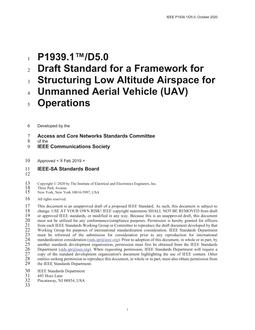
New IEEE Standard – Active – Draft.This standard defines a structure of low altitude airspace for efficient Unmanned Aerial Vehicle (UAV) traffic management.The standard elaborates the structural low altitude based on UAV low altitude public air routes from five parts: grid technology, remote sensing data, communication and networking, route planning, operation and management.Gridding and coding techniques (Section 4.1) are the basic techniques for constructing structured low altitude; Remote sensing (Section 4.2) and surface object extraction technology are important sources of surface geographic information for low-altitude structural construction, which can meet the demand of high dynamic updating of information; Communication and networking technology (Section 4.3) can provide high-quality and reliable communication and data link for low-altitude UAV operations; The low altitude air route (Section 4.4) is a kind of fine low altitude airspace structure; Operation and management techniques (Section 4.5) provide macro policy support for the docking between the route and UTM. In addition, three annexes (A/B/C) are attached to show the details of low-altitude structure.The method proposed above comprehensively utilizes interdisciplinary technologies such as RS, geographic information system (GIS), aviation and transportation for efficient UAV operations in low altitude.This standard was supported and funded by the National Key Research and Development Program of China (No. 2017YFB0503005), the National Natural Science Foundation of China (Nos. 41771388, 41971359), and the Strategic Priority Research Program of Chinese Academy of Sciences (No. XDA19050501).
Product Details
- ISBN(s):
- 9781504474191
- Number of Pages:
- 90
- File Size:
- 1 file , 4.7 MB
- Product Code(s):
- STDUD24620
